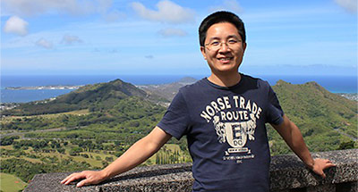
Qi Chen
Professor
Office: Saunders 435
Telephone: 1 (808) 956-3524
Email: qichen@hawaii.edu
smartremotesensing.org
Browse My Publications:
Background
A revolution in sensing technologies is happening in the 21st century and a huge amount of earth observational data with substantially improving quality have been collected. Transforming these massive datasets into useful knowledge poses challenges but also provides huge opportunities. I am a remote sensing scientist who is fascinated by the thrilling developments in remote sensing and other geospatial technologies and the prospects of these new technologies in shaping our ways of understanding and predicting our environment. Ask me more if you share the vision with me and are looking for research opportunities.
Education
- PhD, Environmental Science, Policy, and Management, U of California, Berkeley, 2007
- MS, Geography, Nanjing University, Nanjing, China, 2001
- Minor, Computer Science, Nanjing University, Nanjing, China, 1997
- BS, Geography, Nanjing University, Nanjing, China, 1998
Courses
- GEO 370: UAV and Aerial Photography
- GEO 388: Introduction to GIS
- GEO 470: Remote Sensing
- GEO 489: Applied Geographical Information Systems
- GEO 762: Research Seminar: Remote Sensing
Research
I have research interests in studying various issues of environmental changes (e.g., climate change, land use and land cover change, sea-level rise, habitat and biodiversity loss) and often use a combination of multiple tools (e.g., remote sensing, GIS, statistics, process-based models, and field observations) to address these issues. My current focal remote sensing technology is liDAR and focal subject is vegetation. However, I found most geospatial technologies and environmental issues are interconnected. Students are very welcome to join in my lab if you are passionate about the technologies and/or applications.


![Publications, Academia.edu, Department of Geography, College of Social Sciences, University of Hawaiʻi at Mānoa Publications, Academia[dot]edu, Department of Geography, University of Hawaiʻi at Mānoa](http://geography.manoa.hawaii.edu/wp-content/uploads/2017/06/logo-academia-edu.png)